Leaders in Modern Mapping Methodologies
Cooper Aerial boasts a well-connected staff of photogrammetrists, imagery specialists, project managers, marketing, traditional survey experts, aerial imagery collection experts, and GIS specialists. Our commitment to quality is embodied in the longevity of our company’s experience and long-term relationships.
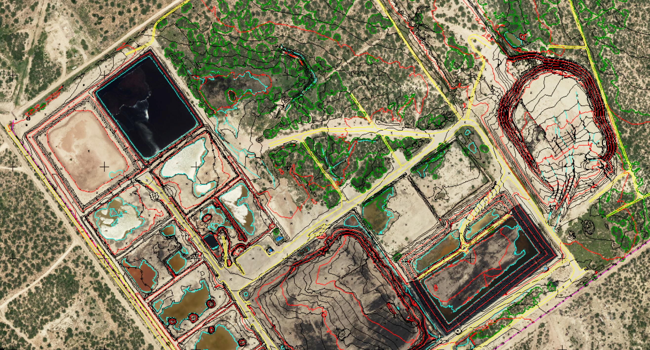
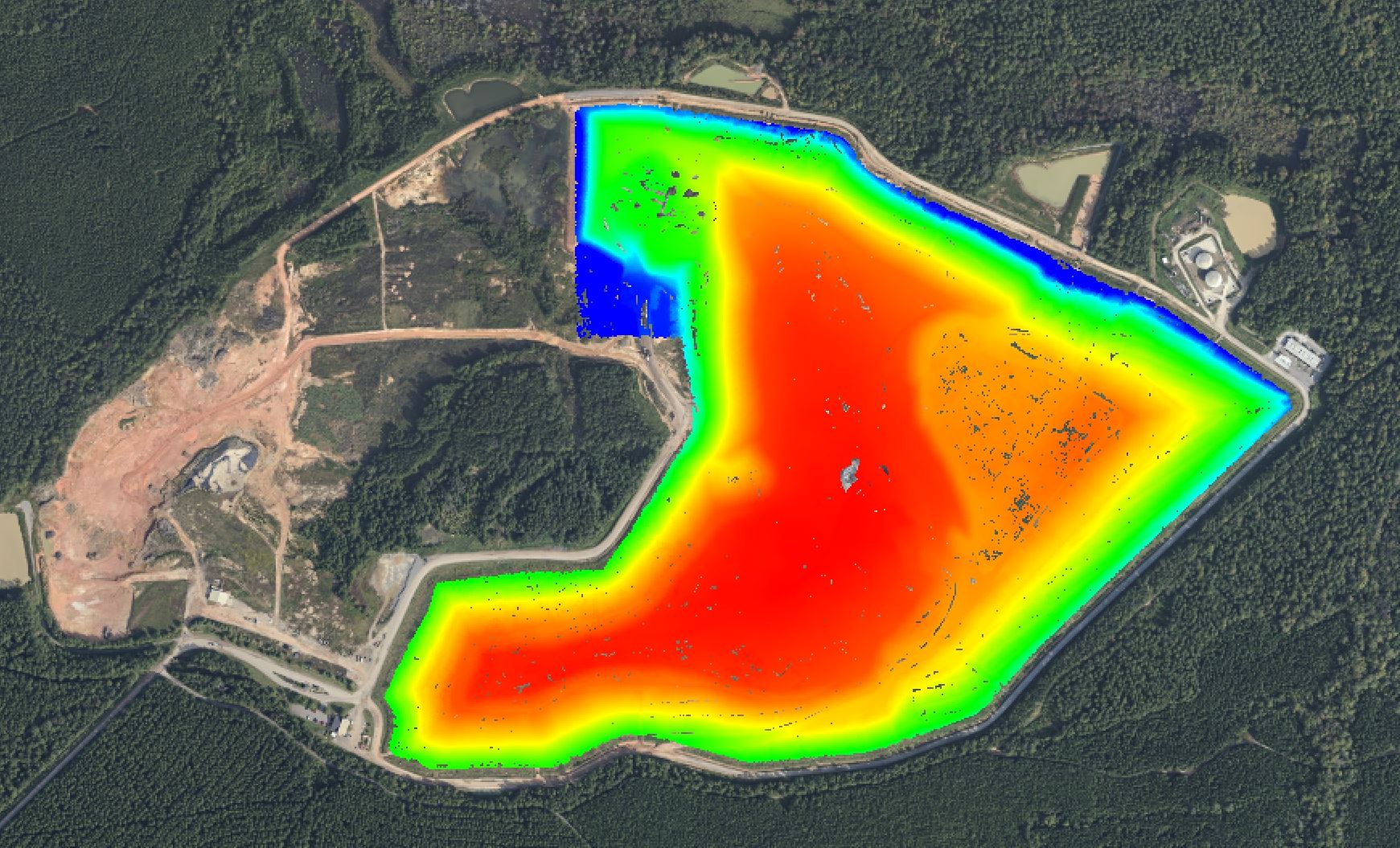
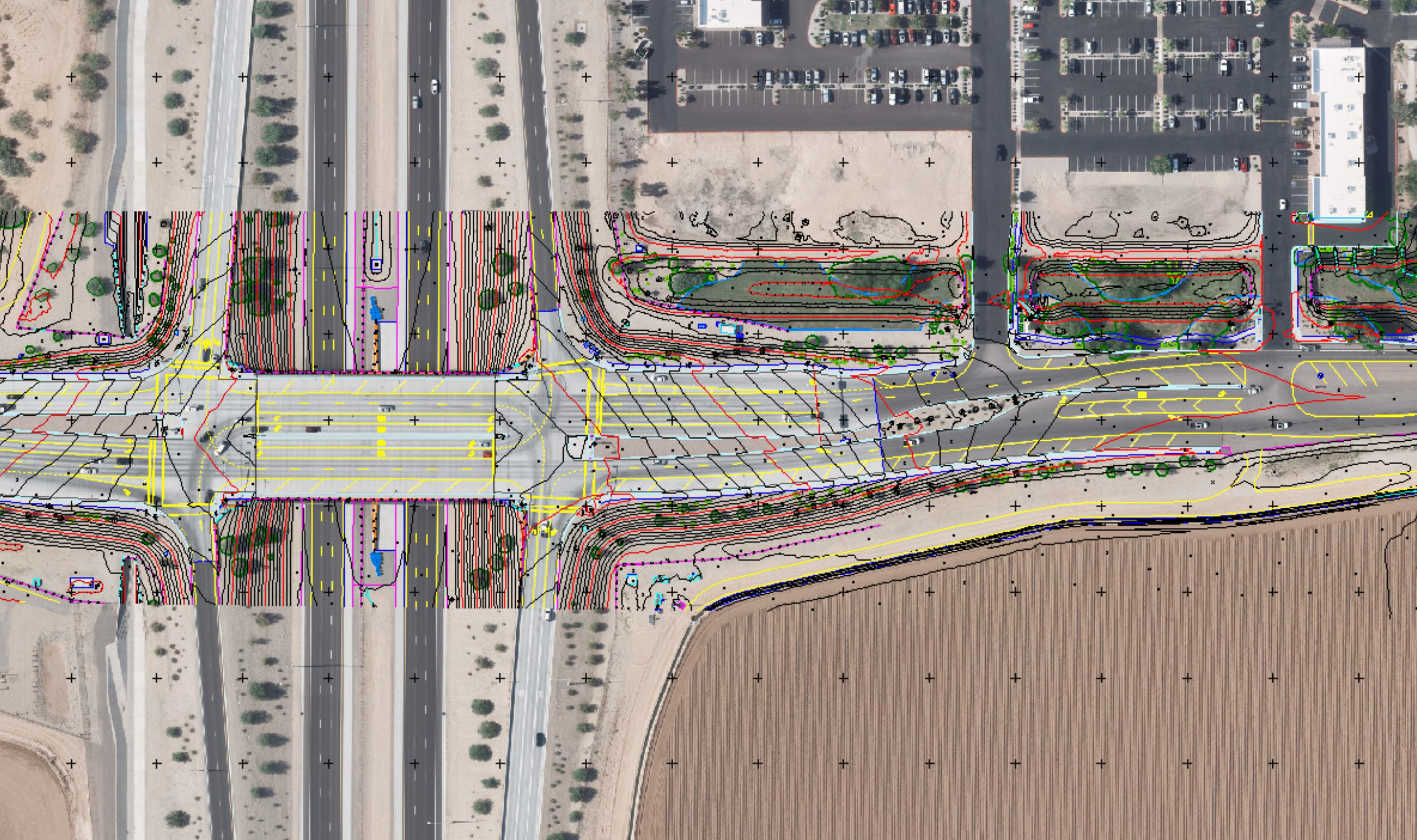
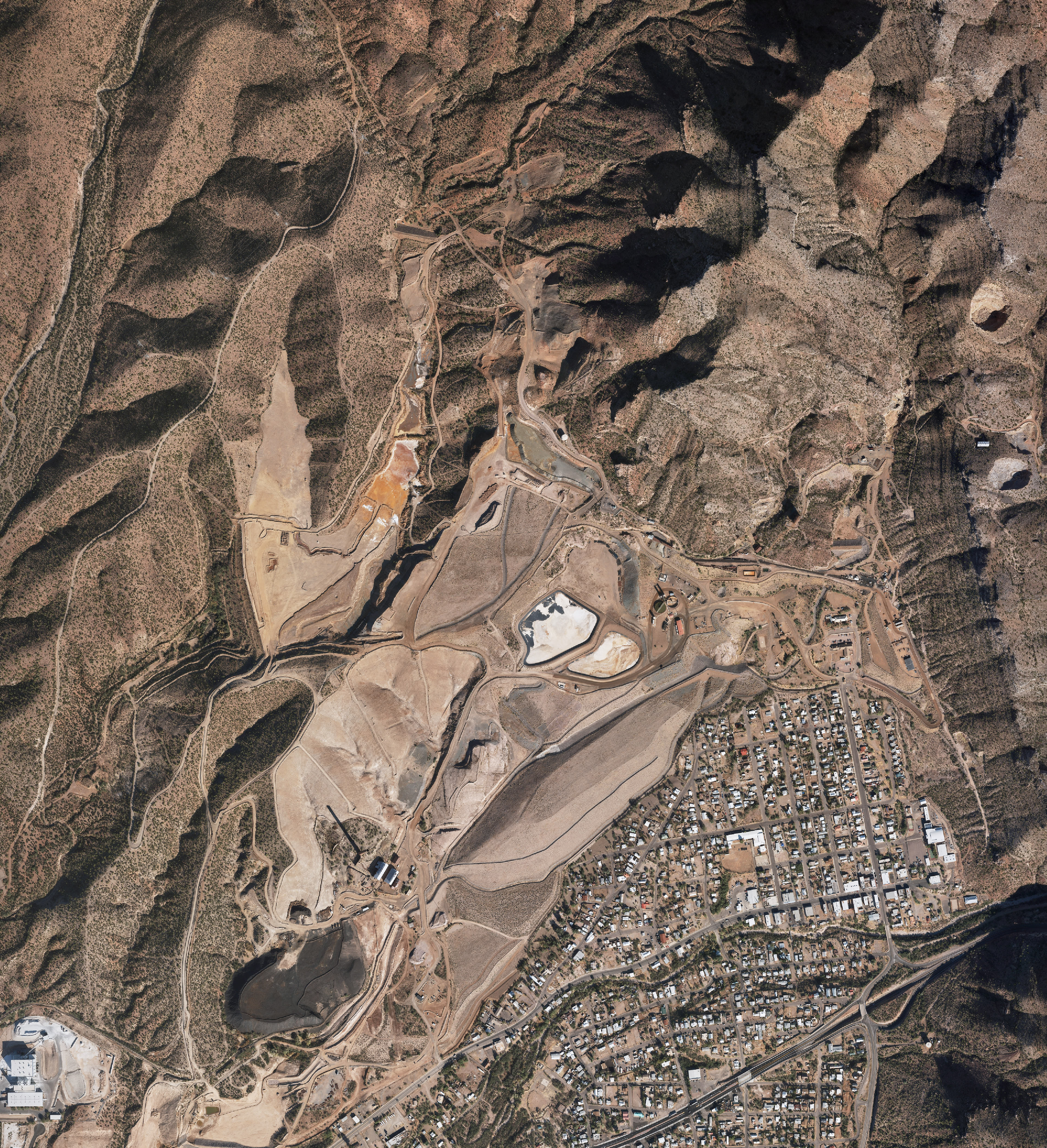
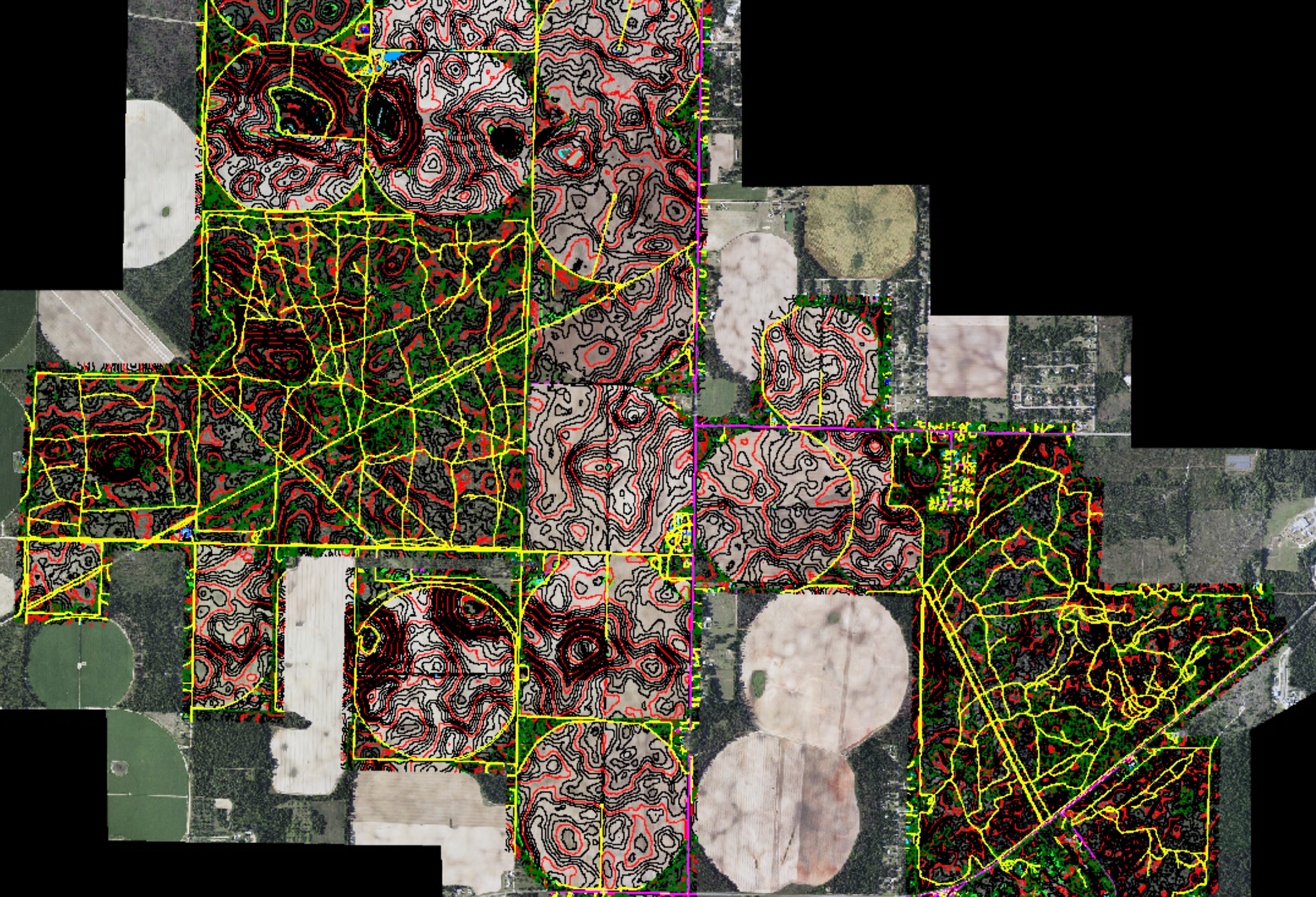
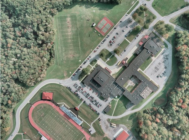
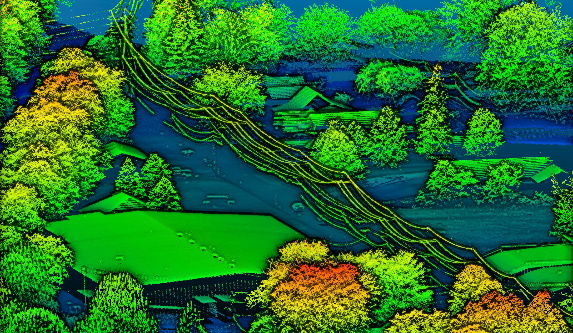
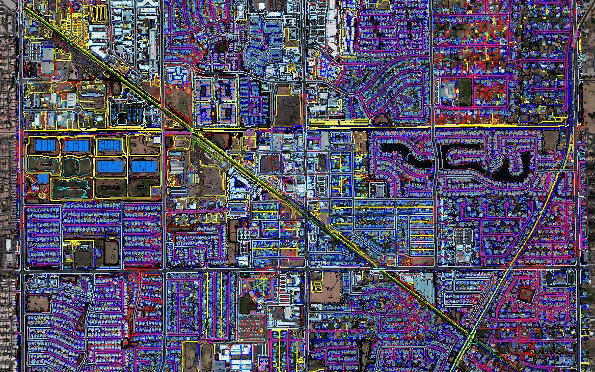
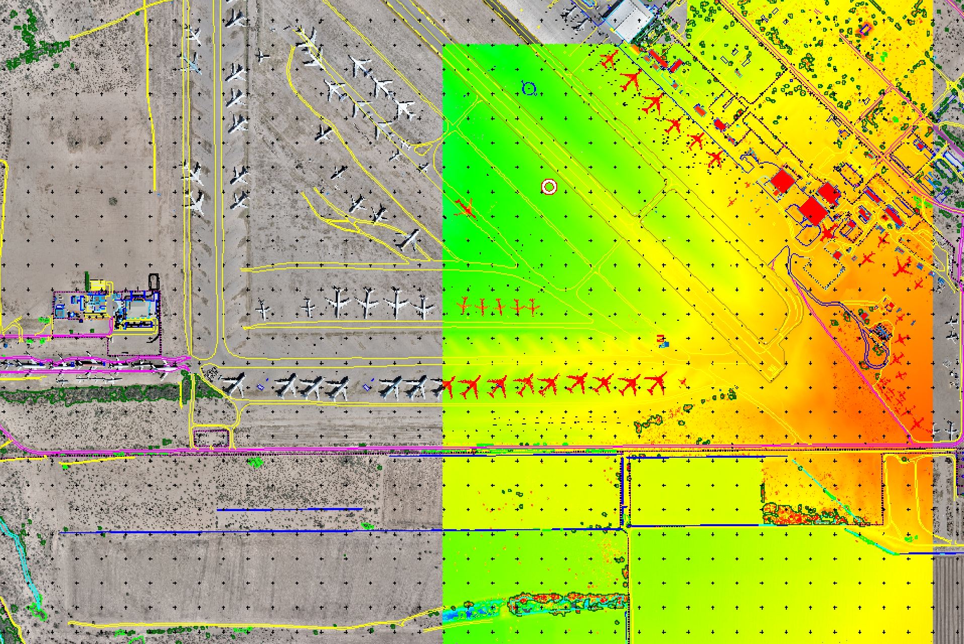
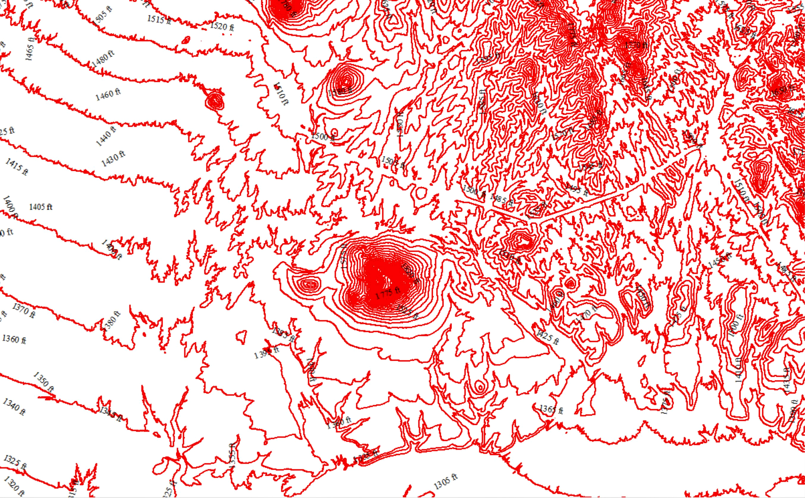
Cooper has redefined how maps are made throughout our industry. We have evolved our operations by leveraging technological advances together with traditional methodologies.
We provide professional photogrammetric mapping and imagery services for a variety of industries to governmental, engineering, and developmental organizations throughout the United States, Mexico, and Canada.
“Phil and Cooper Aerial are willing to help out their colleagues to complete projects on tight deadlines.
They provide a quality product they are willing to stand behind.”
Lucas Boyer
PLS (NY), Principal Associate, Project Manager
Maser Consulting